• About me
  • The 1978 Bronx Survey
  • Domino Sugar Factory, before and after
  • St. Augustine Church in the Bronx, before and after

Menu

  • About me
  • The 1978 Bronx Survey
  • Domino Sugar Factory, before and after
  • St. Augustine Church in the Bronx, before and after

Blog Filters

  • All Posts
  • About me
  • Before and after
  • Bronx Survey
  • Gallery
  • Maps
  • Standard
  • Walks

Filters

  • All Work
  • Borough
  • Bridge
  • Bronx
  • Brooklyn
  • Landmark
  • Manhattan
  • Park
  • Queens
  • Subway
  • Theme
  • WTC

Recent Posts

  • James L .and Lucinda Bedell House, before and after
  • Flatbush District No. 1 School, later Public School 90, before and after
  • Long Island City from 34th Street, before and after
  • Hudson Yards, before and after
  • Pepsi-Cola Sign, before and after

Recent Comments

    Archives

    • September 2018
    • August 2018
    • May 2016
    • April 2016
    • March 2016
    • December 2015
    • February 2011
    • January 2011
    • December 2010

    Categories

    • About me
    • Before and after
    • Bronx Survey
    • Gallery
    • Maps
    • Walks

    Meta

    • Log in
    • Entries feed
    • Comments feed
    • WordPress.org

    Pelham Bay Park

    May 9, 2016 / Category: Bronx Survey / Posted by: Emilio Guerra

    PelhamBayPark02Location:2,772 acres on the northeast Bronx . Block: 5650, Lot: 1.

    Status: Never landmarked or heard.

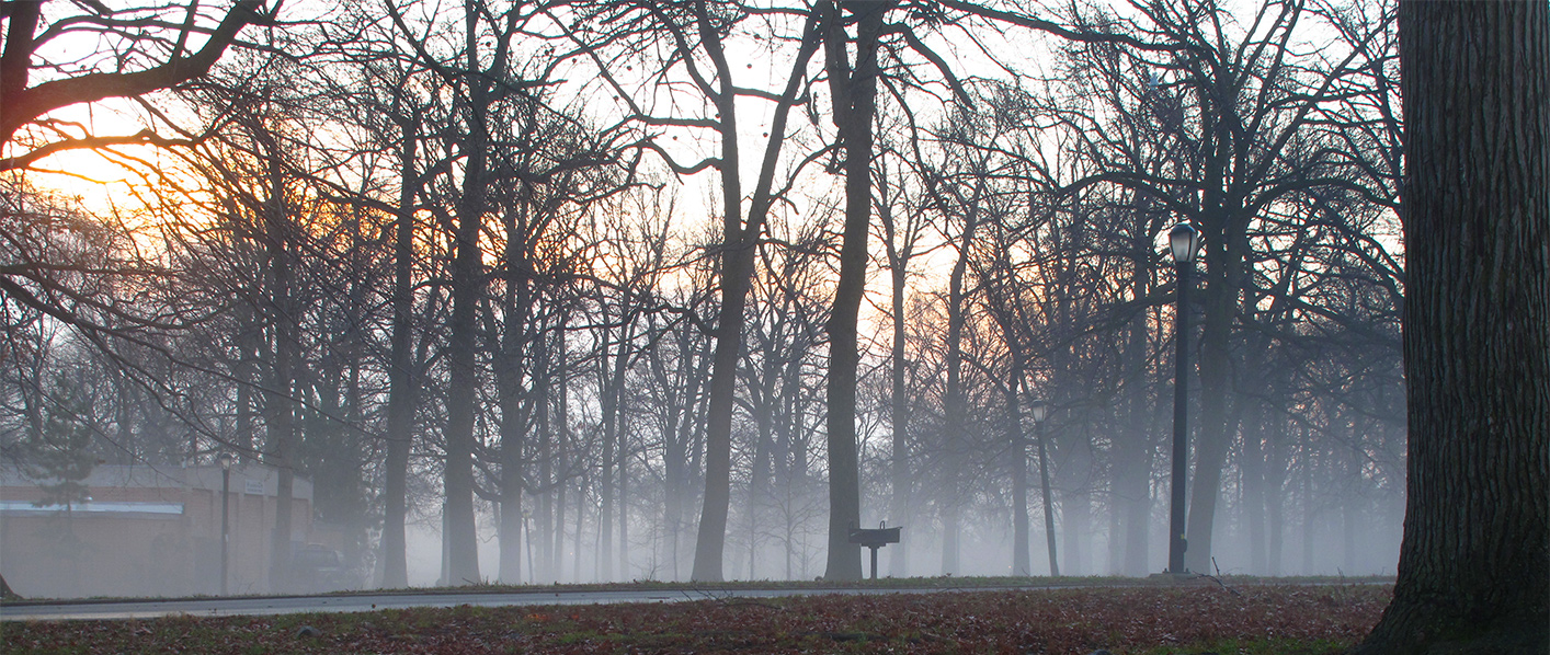
    Description from the Bronx Survey: Occupying much of the original township of Pelham, this attractive park encompasses some of the most extensive tracts of undeveloped marsh land and woodland remaining in the city.

    Tags: Bronx, Bronx Survey, Pelham Bay Park, Surviving

    Share Post :

    More Posts

    • Queens' smaller cemeteries
    • Havemeyer Hall
    • Gustav Schwab House
    • Rectory of Christ Church
    • Domino Sugar Factory, before and after
    • Hawkins Street at Paulis Place (7 Hawkins Street)
    • Foster House at Riverdale Country Day School
    • Long Island City from 34th Street, before and after
      Long Island City from 34th Street, 2008
    • 610 City Island Avenue
    • P.S. 31
    • Silver Beach Gardens Office
    • Grand Avenue between West 190th Street and Kingsbridge Road
    • Former Hunts Point Station
    • St. Roch's Roman Catholic Church and Rectory
    • Johnson Avenue Area near the Spuyten Duyvil Railroad Station
    • 604 City Island Avenue
    • Hudson Yards, before and after
    • 141 Pilot Street
    • 2744 Kingsbridge Terrace
    • West Farms Branch of the United States Post Office
    • Mott Avenue Interborough Rapid Transit Station Entrance
    • Chase Manhattan Bank, former North Side Board of Trade
    • 31 Carroll Street
    • Butler Hall
    • St. Augustine Church in the Bronx, before and after
    • 176 Bay Street
    • Sheffield Farms Dairy Building
    • 1076 Cauldwell Avenue
    • 481 Jackson Avenue
    • Mapping it through
    • St. Matthew's African Methodist Episcopal Church

    Cufo Theme. By Royal-Flush 2014 ©