• About me
  • The 1978 Bronx Survey
  • Domino Sugar Factory, before and after
  • St. Augustine Church in the Bronx, before and after

Menu

  • About me
  • The 1978 Bronx Survey
  • Domino Sugar Factory, before and after
  • St. Augustine Church in the Bronx, before and after

Blog Filters

  • All Posts
  • About me
  • Before and after
  • Bronx Survey
  • Gallery
  • Maps
  • Standard
  • Walks

Filters

  • All Work
  • Borough
  • Bridge
  • Bronx
  • Brooklyn
  • Landmark
  • Manhattan
  • Park
  • Queens
  • Subway
  • Theme
  • WTC

Recent Posts

  • James L .and Lucinda Bedell House, before and after
  • Flatbush District No. 1 School, later Public School 90, before and after
  • Long Island City from 34th Street, before and after
  • Hudson Yards, before and after
  • Pepsi-Cola Sign, before and after

Recent Comments

    Archives

    • September 2018
    • August 2018
    • May 2016
    • April 2016
    • March 2016
    • December 2015
    • February 2011
    • January 2011
    • December 2010

    Categories

    • About me
    • Before and after
    • Bronx Survey
    • Gallery
    • Maps
    • Walks

    Meta

    • Log in
    • Entries feed
    • Comments feed
    • WordPress.org

    Mosholu Parkway

    April 29, 2016 / Category: Bronx Survey / Posted by: Emilio Guerra

    Mosholu Parkway
    Location: 80.94 acres between the Grand Concourse and Webster Avenue.

    Status: Never landmarked or heard.

    Description from the Bronx Survey: 

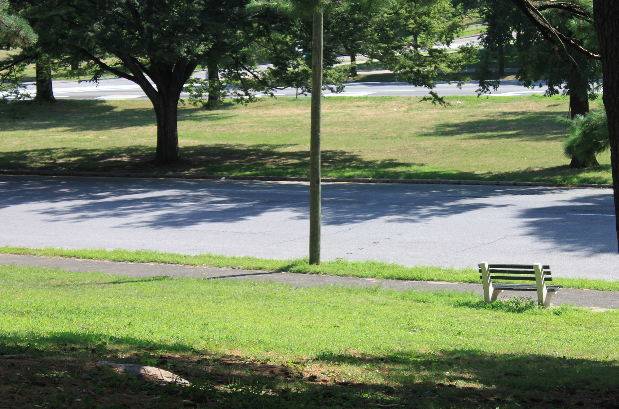
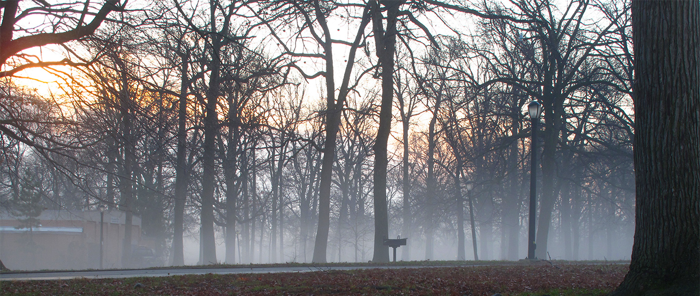
    One of the most attractive thoroughfares in the borough, Mosholu Parkway was designed in 1S87 to connect Van Cortlandt and Bronx Parks with a series of tree-lined roadways separated by grassy malls.

    Tags: Bedford Park, Bronx, Bronx Survey

    Share Post :

    More Posts

    • 351 City Island Avenue
    • Tower House
    • Rice Stadium
    • Bedford Park Presbyterian Church
    • Silver Beach Gardens Office
    • Willis Avenue M.E. Church
    • Mott Avenue Interborough Rapid Transit Station Entrance
    • 141 Pilot Street
    • Johnson Avenue Area near the Spuyten Duyvil Railroad Station
    • 570 City Island Avenue
    • Preston High School
    • Five Pointz in Long Island City (22-44 Jackson Avenue), Before and After
    • Former Hupfel Brewery
    • 150 Carroll Street
    • Hawkins Street at Paulis Place (7 Hawkins Street)
    • Gustav Schwab House
    • 84-86 Schofield Street
    • 2251-59 Loring Place
    • Pepsi-Cola sign in Long Island City, before and after (full frontal)
    • Hudson Yards, before and after
    • 295 City Island Avenue
    • St. Raymond's Roman Catholic Church
    • First Presbyterian Church of Williamsbridge
    • 2744 Kingsbridge Terrace
    • Foot of Rochelle Street (1 Rochelle Street)
    • Queens' smaller cemeteries
    • Elton Avenue Methodist Church
    • Long Island City from 34th Street, before and after
      Long Island City from 34th Street, 2008
    • Former Interborough Rapid Transit Substation
    • St. Roch's Roman Catholic Church and Rectory
    • 709-727 Eagle Avenue houses

    Cufo Theme. By Royal-Flush 2014 ©